
Quartz created an interactive visualization using the UCS Satellite Database data called “The World Above Us: This is every active satellite orbiting the earth.” It shows all the satellites in the database, with their image size proportional to their launch mass, set in altitude bands. You can pull up relevant details on each satellite, and set them in motion. You can highlight different populations (spy sats, type of user, etc.)
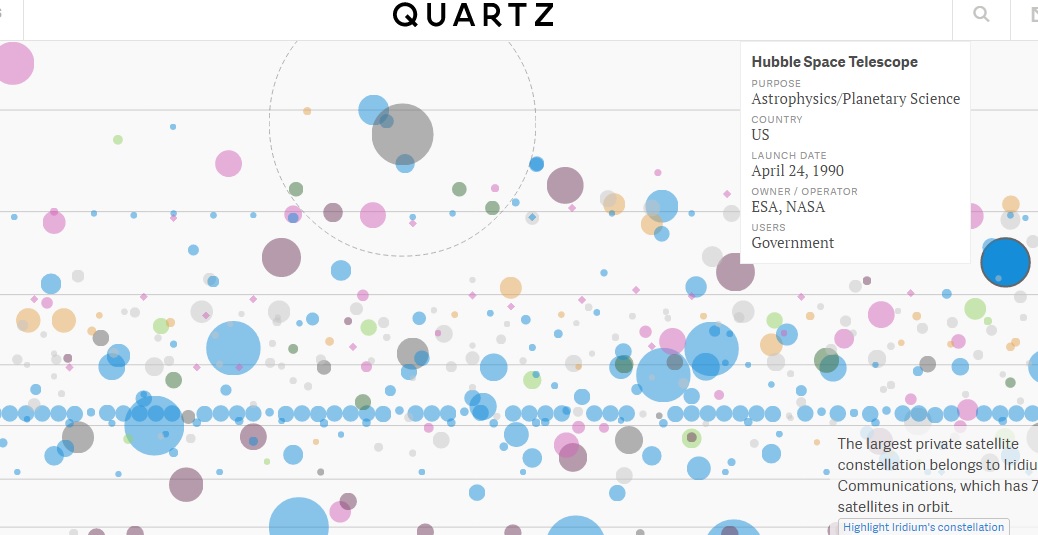
A still image from the Quartz interactive website.
It’s a real pleasure to see someone take your work (in this case, primarily the work of Database researcher Teri Grimwood) and make something beautiful and useful from it.