


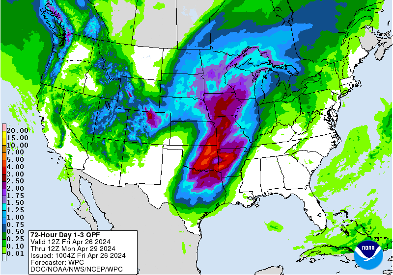
Precipitation forecast 1-3 days valid 12Z June 23 to 12Z June 26. Source: NOAA/NWS
Update Friday 13:00 EDT: Intense rain and tornadoes are several of the dangerous aspects of Cindy. A foot of rain fell near Ocean Springs Mississippi and a dangerous tornado, with 120 miles per hour winds, occurred near Birmingham Alabama. Cindy storm surge spanned Texas to the Florida panhandle including 2 to 4 feet in many places and 6 feet reported at Shell Beach, LA. Flash flood risk is not over yet. Remnants of Cindy are projected to bring heavy precipitation spanning Texas to Pennsylvania (NOAA 3 day forecast for June 23 to 26).
Several cities along the Gulf Coast have declared state of emergency in preparation for tropical storm Cindy, which will likely bring extreme precipitation and pose life-threatening flood risks. Here’s what to watch for to stay safe during this storm.
The greatest danger, according to the National Hurricane Center, is that Cindy could produce life-threatening flooding across portions of the Gulf Coast.
The Atlantic tropical storm and hurricane season started early in 2017 with Tropical Storm Arlene in April.
It is quite rare for a tropical storm to form in the tropical Atlantic Ocean east of the Antilles “Main Development Region” before July 1. Yet, Tropical Storm Bret is the third to do so in over a century in a half. Already Tropical storm Bret has brought high winds and rain to Trinidad, Tobago, Margarita and dissipated near Bonaire, Curaçao, and Aruba.
Now for the first time in nearly half a century two named storms occurred simultaneously in the Atlantic before July: Bret and Cindy.
Precipitation can become dangerous

Projected Tropical Storm Cindy precipitation totals issued June 21, 2017 at 7:48 AM Central Daylight Time. Source: National Weather Service New Orleans/Baton Rouge LA.
The National Hurricane Center declared, soon after Tropical Storm Cindy formed, that flooding is the primary hazard for the U.S. Gulf Coast.
In parts of Louisiana, Mississippi, and Alabama maximum precipitation totals could be as high as eight inches in places with torrential rain stretching from Texas to the Florida panhandle. This is less than a year after the historic amount of rainfall in Louisiana during August 2016 dumped more than three times as much rain as Hurricane Katrina in 2005 leading to record flooding in several rivers. Unfortunately, residents in South Louisiana are still digging out from past catastrophic flooding.
Watch the factors influencing coastal water level: wind, tide, waves, freshwater contribution
Look for the projected wind characteristics in places of most concern. Winds whip up the waves and can increase damage.
The direction and severity of the winds really matter in a spiraling tropical cyclone. Note that the highest potential for storm surge typically is away from the center of a tropical cyclone track. Winds that push water onshore can pile up water locally. Also winds that push water offshore can keep high tide lower than projected.
Watch for the possible coinciding occurrence of local storm surge peak with high tide. Check the phase of the moon and other conditions that can lead to a higher (or lower) than normal tide.
Know if a “King tide” – among the highest tides in a year – is expected during a storm. Gulf coast tidal ranges are typically smaller than King tides that have occurred along U.S. East Coast locations. Watch for local National Weather Service flood projections that take account of the local wind, tide, waves, and freshwater contribution to local water level. For example, today the water levels are far above normal near Houston, TX, at tide station located at Galveston Bay Entrance, North Jetty TX.

High water conditions June 21, 2017 at Galveston Bay Entrance, North Jetty TX near Houston. Source: NOAA
Watch for improved tropical cyclone forecasts with new images coming from satellite GOES-16
The scientific community is gushing over the early images from satellite GOES-16 (experimental phase) for tropical storms Bret and Cindy. This most advanced weather satellite that NOAA has developed is planned to be positioned as GOES-EAST after being declared operational in November. In that capacity it will cover the main development region for Atlantic tropical cyclones and the entire continental US.
#GOES16 captured this brilliant loop of Tropical Storm Cindy (formerly PTC3) in the Gulf this afternoon! Forecast @ https://t.co/LFPB6b4IJu pic.twitter.com/lwjwSnOWfO
— NOAA Satellites (@NOAASatellites) June 20, 2017
Watch leadership and budgets of key agencies

GOES-16 satellite will be positioned as GOES-EAST after being declared operational. Source: NOAA
Investment in US science agencies research, instruments, and operations have improved Atlantic tropical storm and hurricane tracks. Fewer people have to evacuate, Mayors and State Governors have more advanced notice to warn citizens, and emergency responders have more time to get ready.
Watch for the budgets of NOAA, NASA, DOI, NSF and FEMA, and if necessary, tell Congress that it must ensure these agencies have the resources, tools, and can retain top talent. So all Americans in the path of tropical storms and hurricanes are given the most advanced and accurate warnings to stay safe, and that emergency preparedness and recovery efforts are well-funded. Robust leadership in key agencies is also critical. FEMA administrator Brock Long was just confirmed yesterday, however, NOAA and NASA still do not have administrators.
If you live in the path of Cindy, please take heed of local advisories and stay safe. I’ll be updating this blogpost in the days to come.