 Imani/Unsplash
Western US States
Imani/Unsplash
 Dina Lydia/Unsplash
 Yiming Chen/Getty Images
 Thom Milkovic/Unsplash
 Mathieu Lewis-Rolland/Getty Images
 krisanapong detraphiphat/Getty Images
 Caroline Brehman/EPA, via Shutterstock
 Mario Tama/Getty Images
 Frank Schulenburg/Wikimedia Commons
 Katrin Bolovtsova/Pexels
 Andrew Scheer/Flickr
 The Library of Congress/Flickr
 Carole J. Buckwalter/Wikimedia Commons
 Favorable Light Studios/Pexels
 US Department of Energy
 J. Pablo Ortiz-Partida
 U.S. Department of Energy/Flickr
 Oxana Melis/Unsplash
 Trinh Trần/Pexels
 Juice/Unsplash
 Cnugent69/Pixabay
 Sebastian Enrique/Unsplash
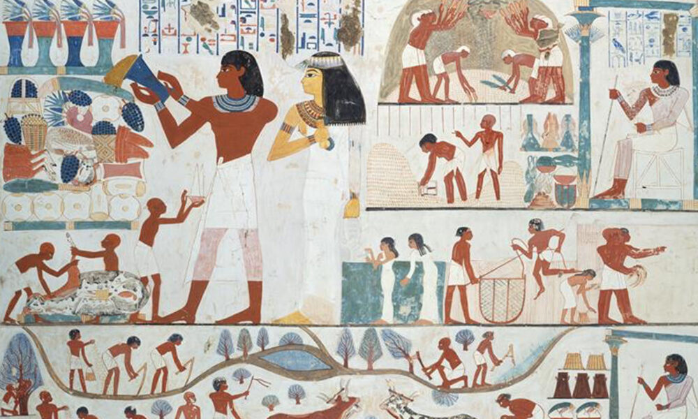 Agricultural Scenes, Tomb of Nakht. Norman de Garis Davies
Lancelot Crane/Metropolitan Museum of Art
Agricultural Scenes, Tomb of Nakht. Norman de Garis Davies
Lancelot Crane/Metropolitan Museum of Art
 Steve/Pexels